Routes
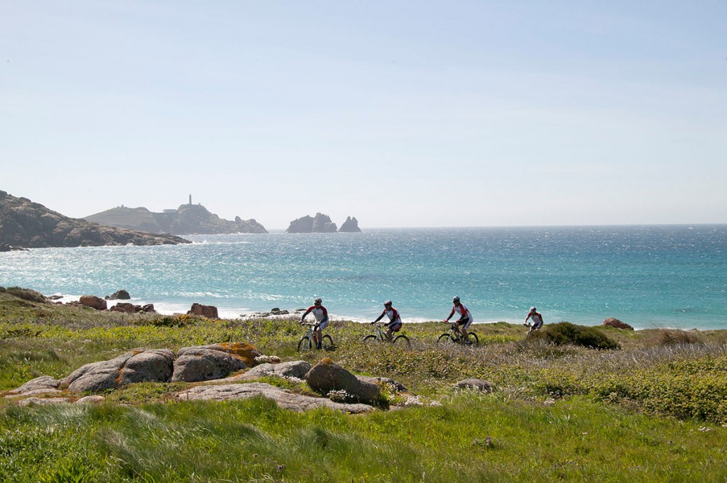
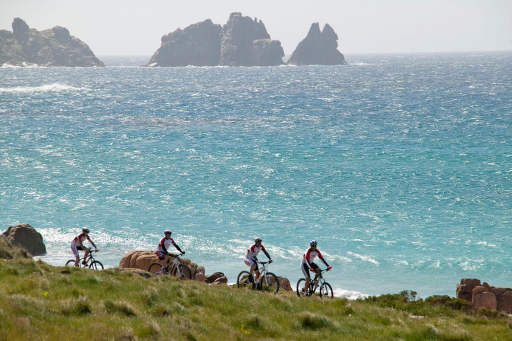
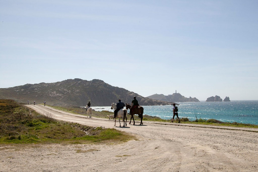
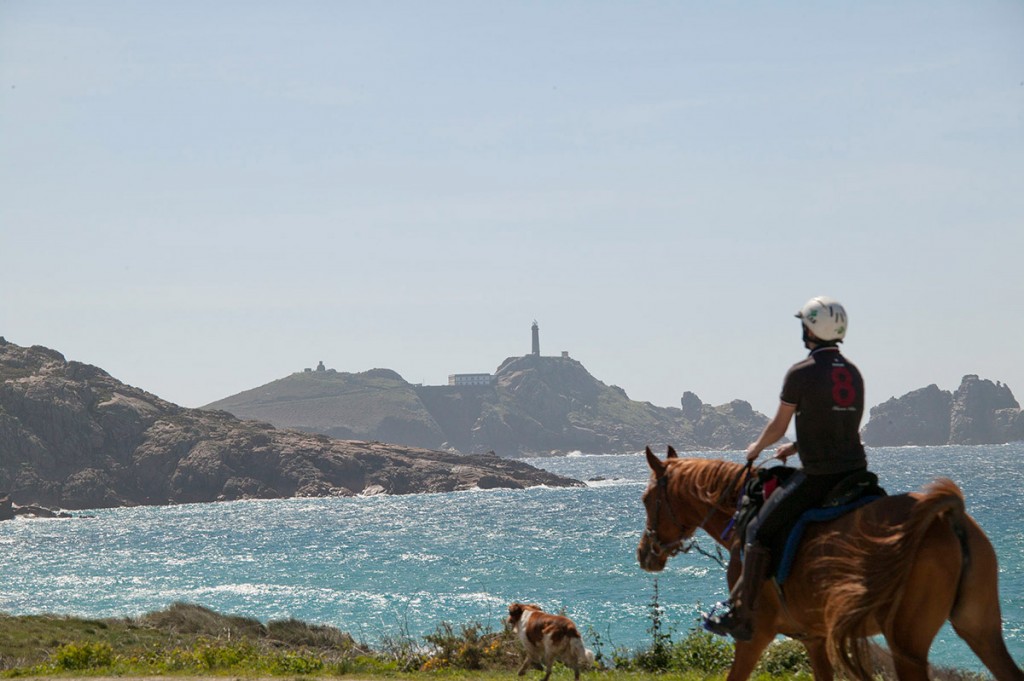
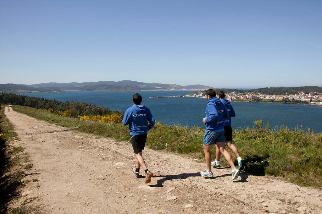
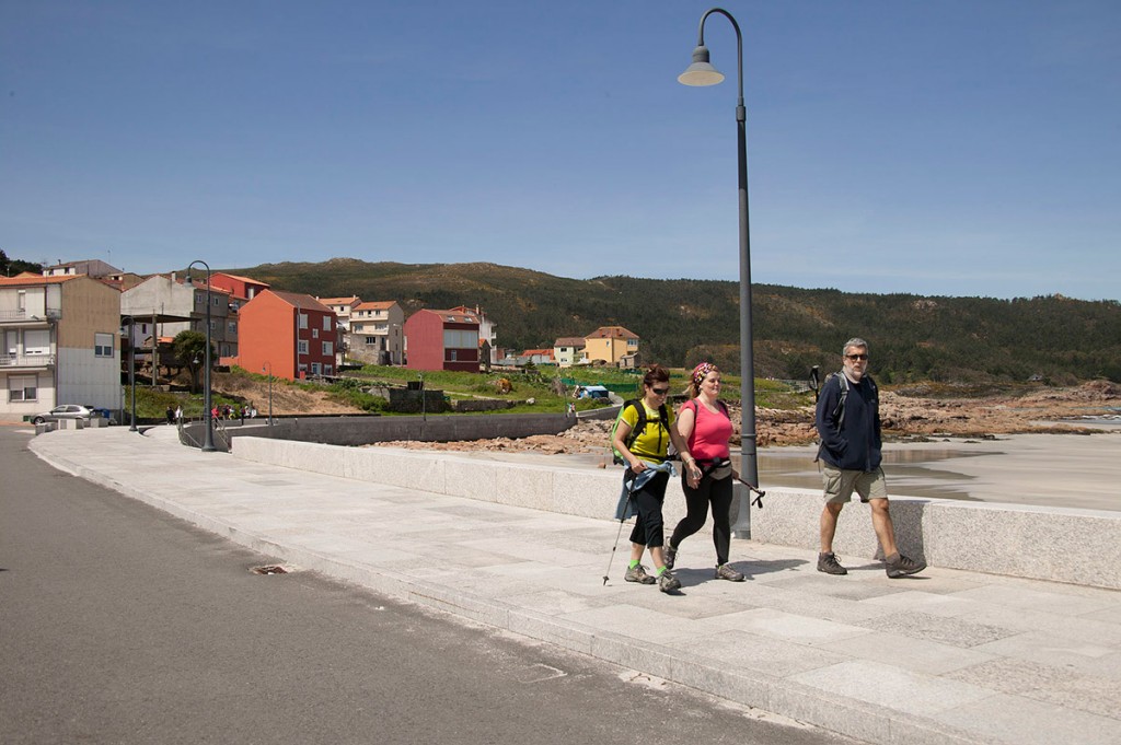
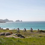
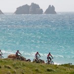
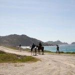
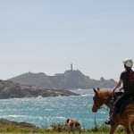
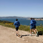
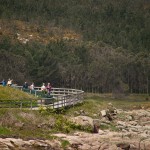
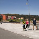
The location of the Tourist Information Office of Camariñas at the end of the promenade, boasting a wide panoramic view of the harbour, is a great starting point to explore our municipality. Here you can get first-hand information about every corner of our fishing village and then, move towards the coast along the road leading to the Vilán lighthouse, where you will find three hiking routes:
- Shipwreck route: more than 60 wrecks are displayed on your phone’s screen from any point on the Camariñas coast.
+info: rutadelosnaufragios.com
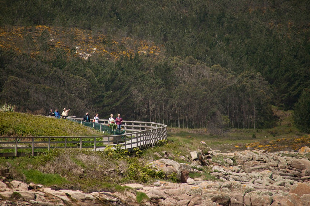
- Coastal route: 5 hours, 22 km, difficulty: easy.
[Download Coastal Route topographical guide] [Download Coastal Brochure]
- Costa da Morte route (PRG-158): 6 hours, 22.5 km, difficulty: average.
[Download Costa da Morte Route topographical guide (PRG-158)] [Download Costa da Morte Brochure]
- Insua Route: 5 hours, 5 km, difficulty: easy.
[Download Insua Route topographical guide] [Download Insua Brochure]
- Route of the Mills (PRG-37): 5 hours, 4 km, difficulty: easy.
[Download Route of the Mills (PRG-37) topographical guide] [Download Mills Brochure]
- Tips for travelers
